GeoXO
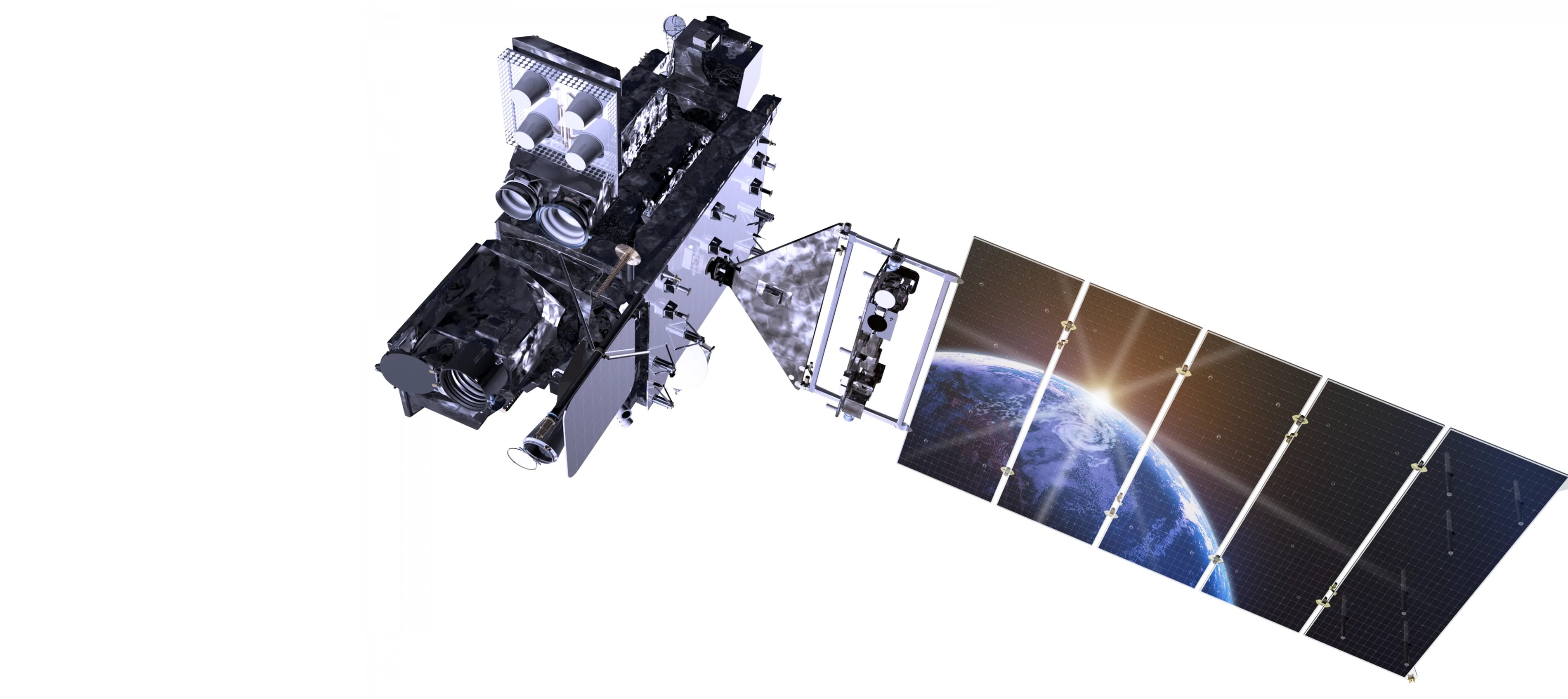
Geostationary Extended Observations (GeoXO) is a collaborative NOAA and NASA program that will provide continuous imagery and data on Earth’s atmosphere, land and ocean for operational forecasts and warnings. NASA will build and launch the GeoXO satellites and NOAA will operate them.


OVERVIEW
GeoXO will provide advanced imagery and atmospheric measurements of Earth’s Western Hemisphere, real-time mapping of lightning activity, atmospheric composition measurements, and measurements of the biology, chemistry, and ecology of the ocean. GeoXO will support short-term forecasts and warnings of extreme weather and environmental hazards as well as long-term planning for the effects of climate change.
The first GeoXO launch is planned for 2032, as the GOES-R Series nears the end of its operational lifetime, and the mission will maintain and advance NOAA’s geostationary observations through 2055.
A Day in the Life of GeoXO
GeoXO will watch over the Western Hemisphere as part of NOAA’s observing system that supports short-term forecasts and warnings of extreme weather and environmental hazards as well as long-term planning for the effects of climate change. This observing system will deliver information that sophisticated climate-forecasting models use to predict weather patterns, including emerging patterns caused by climate change.
Learn More on NOAA's GeoXO SiteThe GeoXO Constellation

Past Highlights to Future Horizons
For nearly 50 years, NOAA and NASA have partnered to develop NOAA’s geostationary satellites as part of the most sophisticated weather-observing, environmental monitoring, and space weather monitoring satellite system in the world. GOES-U, now GOES-19, is the final satellite in a heralded NOAA satellite program and bridge to another future age of advanced satellite technology.
Learn MoreInstruments and Capabilities

GeoXO’s advanced capabilities will help address our changing planet and the evolving needs of NOAA’s data users. NOAA plans for GeoXO to improve on GOES-R’s visible/infrared imagery and lightning mapping capabilities. NOAA also plans for GeoXO to include hyperspectral sounding, atmospheric composition, and ocean color observations. See the instrument descriptions and links below for more information.
Planned GeoXO Instrument Suite
GeoXO Imager (GXI): Real-time, high-resolution visible and infrared imagery for monitoring Earth’s weather, oceans, and environment.
GeoXO Lightning Mapper (LMX): Lightning detection to analyze severe storms, predict the intensity of hurricanes, respond to wildfires, estimate precipitation, and mitigate aviation hazards.
GeoXO Sounder (GXS): Real-time information about the vertical distribution of atmospheric moisture, winds and temperature for better numerical weather prediction and forecasts for short-term severe weather.
GeoXO Atmospheric Composition Instrument (ACX): Observations of air pollutants to improve air quality monitoring and mitigate health impacts from severe pollution and smoke events.
GeoXO Ocean Color Instrument (OCX): Measurements of the biology, chemistry, and ecology of the ocean to better monitor fisheries and protected species populations, track ocean pollution, and analyze ecosystem change, coastal and inland water quality, and hazards like harmful algal blooms.
GeoXO News Feed
Contacts / Media
- 01
Jacob Richmond NASA/GSFC
- 02
NOAA Satellites Public Affairs Team


